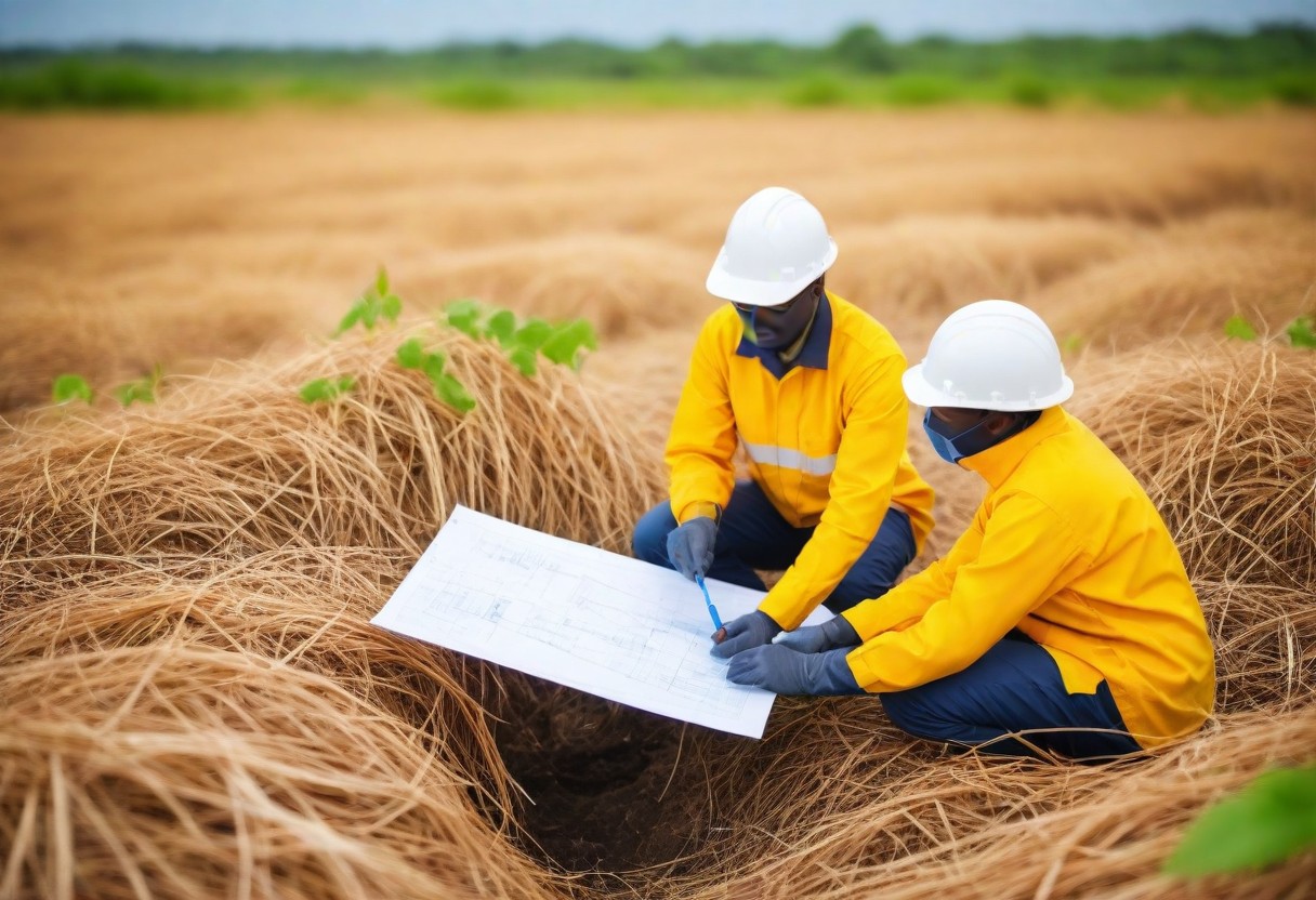
Ground geophysics plays a crucial role in project site appraisal by providing valuable information about the subsurface structure and composition of the earth beneath. It involves the use of non-invasive techniques, such as seismic, electrical, and magnetic methods, to gather geophysical data about the subsurface without drilling or excavating. FISAS conducts integrated ground geophysics in combination with geotechnical investigation and environmental studies for complete elucidation of site conditions and soil structure for sustainable development.
The benefits of ground geophysics in site appraisal include:
1. *Identification of potential hazards*: Ground geophysics can help identify potential hazards such as underground cavities, fault lines, and unstable soil conditions, which can impact the safety and stability of a site.
2. *Mapping of subsurface structures*: Ground geophysics can help create detailed maps of subsurface structures, such as underground water tables, soil layers, and rock formations, which can inform decisions about site development and construction.
3. Environmental monitoring: Ground geophysics can be used to monitor groundwater contamination, soil pollution, and other environmental hazards, helping to identify areas that require remediation.
4. Optimization of site development*: By providing detailed information about the subsurface, ground geophysics can help optimize site development, reducing the risk of costly surprises and delays.
5. Cost savings: Ground geophysics can help reduce the need for expensive and invasive exploratory drilling, saving time and money.
6. Improved decision-making: Ground geophysics provides valuable data that can inform decisions about site acquisition, development, and management, helping to ensure that projects are completed on time, within budget, and with minimal environmental impact.
Some common techniques used in ground geophysics include:
1. Seismic surveys: Measure the velocity of seismic waves to determine subsurface structure and composition.
2. Electrical resistivity tomography (ERT): Measure the electrical resistivity of the subsurface to identify structures and potential hazards.
3. Ground-penetrating radar (GPR): Use radar pulses to image the subsurface and identify shallow structures and objects.
4. Magnetic surveys: Measure the strength of the magnetic field to identify subsurface structures and potential hazards.
These techniques are used in FISAS individually and in combination to provide a comprehensive, integrated understanding of the ground subsurface. Thereby helping to ensure that site appraisal and development are done safely, efficiently, and effectively with holistic understanding of the grounds of the project Site.

Leave a Reply