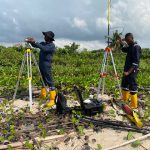
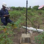
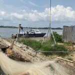
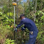
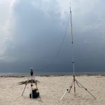
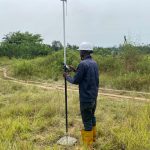
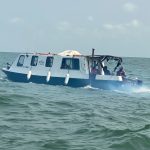
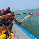
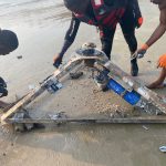
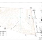
FISAS excels in Topographical Survey, Bathymetry, and Mapping services, offering a comprehensive approach to terrain and waterbody assessments. Our expert team employs cutting-edge surveying and mapping technologies to capture detailed land topography and underwater bathymetric features. Whether on land or beneath the water’s surface, our services provide precise mapping and dimensional data crucial for construction planning, infrastructure development, and environmental studies. FISAS ensures that clients receive accurate and up-to-date information, empowering them with the insights necessary for efficient project design and management in both terrestrial and marine environments.
Our Equipments
- Topographic Survey
- Boundary Survey
- Route (pipeline, road, cable, etc.) Survey
- Utility Survey
- Aerial Survey
- Geographic Information System
- Bathymetric Survey
- Seabed Survey
- Offshore Positioning
Our Experience
Access and download our entire portfolio of previous projects.
