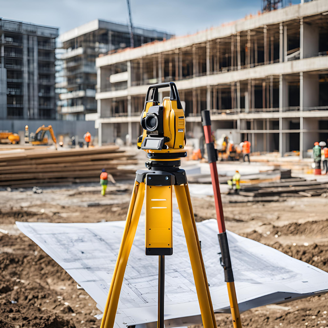
In the realm of construction and infrastructure development, precision and accuracy are
paramount. At Fundamental Integrated Site Appraisal Services (FISAS), we leverage cutting-
edge technology and expert knowledge to provide unparalleled topographical surveys. This
service is one of our core strengths, setting us apart and ensuring that our clients can build with
confidence and precision.
The Importance of Topographical Surveys
Topographical surveys are essential for any construction project as they provide detailed
information about the natural and man-made features of the site. These surveys map out the
terrain, showing elevation changes, slopes, and other critical land characteristics. This data is
vital for architects, engineers, and construction teams to design and plan effectively, avoiding
costly errors and ensuring that projects are completed on time and within budget.
At FISAS, our topographical surveys include:
– High-Resolution Mapping: Utilizing state-of-the-art equipment, we create highly
detailed maps that accurately represent the site’s surface features.
– 3D Terrain Models: Our advanced techniques allow us to generate three-dimensional
models of the terrain, providing a comprehensive view that is crucial for planning and
design.
– Integration with GIS: Our surveys are integrated with Geographic Information Systems
(GIS), enabling easy access to and manipulation of spatial data for enhanced decision-
making.
Why FISAS?
FISAS’s commitment to excellence and innovation is evident in our approach to topographical
surveys. Our experienced team of surveyors and geospatial experts ensures that every survey is
conducted with the highest level of precision. We understand the complexities of different
project sites and tailor our surveys to meet the specific needs of each client, whether it’s for
urban development, road construction, or industrial projects.
By choosing FISAS, you are opting for a partner who prioritizes accuracy, efficiency, and client
satisfaction. Our topographical surveys provide the foundational data necessary for informed
decision-making, risk management, and successful project execution.
Contact Us Today
Ready to experience the difference that precision and expertise can make? Contact FISAS today
to learn more about our topographical survey services and how we can support your next
project.

Leave a Reply