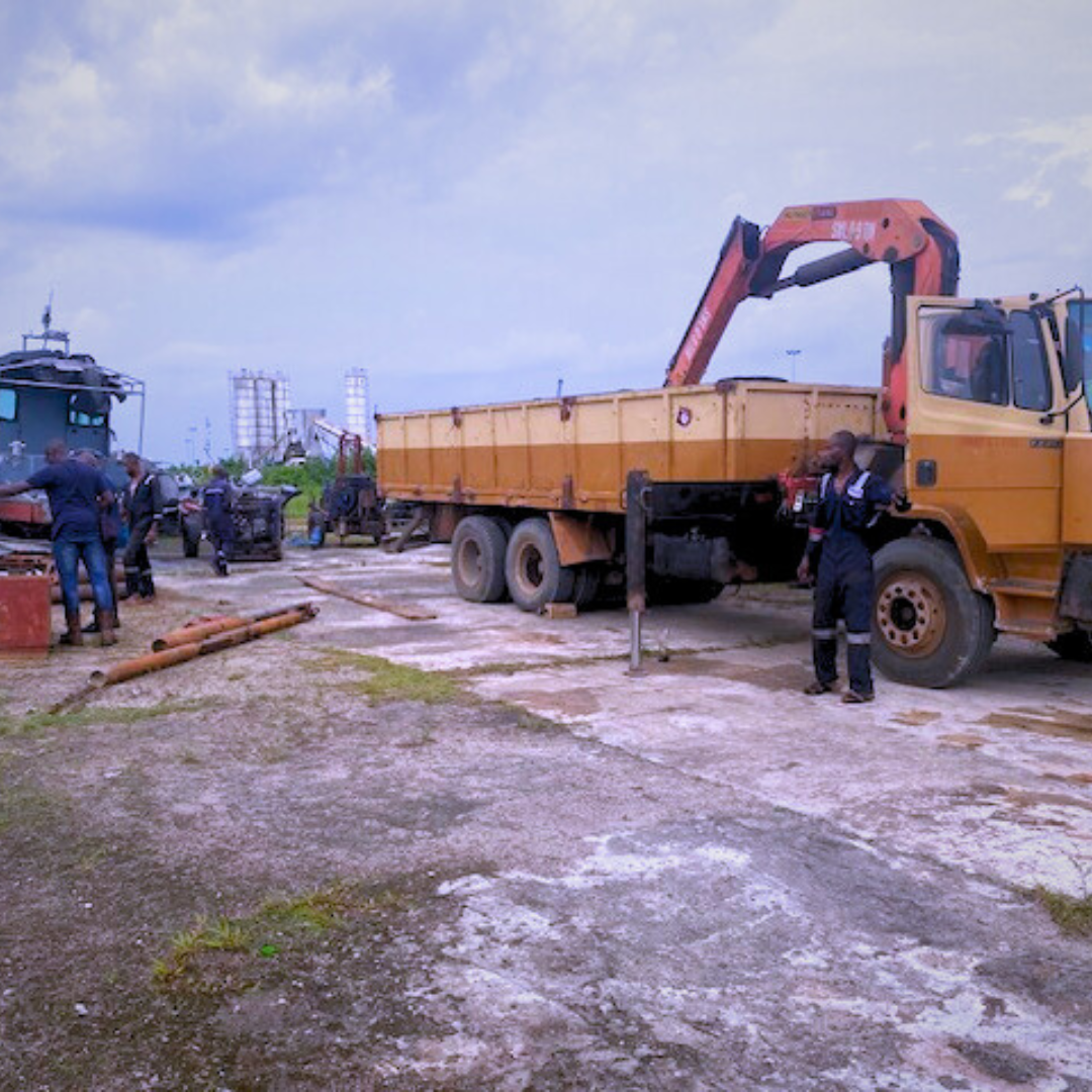
Introduction
At FISAS, we take pride in our extensive expertise and commitment to excellence in Survey and
Geotechnical Site Investigations. Recently, our dedicated team embarked on a significant
project in Rivers State, showcasing our capabilities in providing accurate, reliable, and detailed
site assessments. This project stands as a testament to our ability to support large-scale
developments with critical data and insights necessary for successful construction and
sustainable growth.
Project Overview
In Rivers State, a region known for its dynamic terrain and diverse environmental conditions,
our team undertook a comprehensive survey and geotechnical site investigation. The goal was
to gather essential data to inform the planning and construction of new infrastructure projects,
ensuring safety, efficiency, and environmental responsibility.
Survey Services
Our survey services involved detailed topographical mapping, bathymetric studies, and route
surveys. Utilizing state-of-the-art equipment and advanced techniques, we were able to
capture precise measurements and create accurate maps of the project site. This data is crucial
for understanding the geographical features of the area, identifying potential challenges, and
optimizing the design and layout of the proposed infrastructure.
– Topographical Mapping: Detailed contour maps were created to represent the terrain
accurately, highlighting elevation changes, natural features, and existing structures.
– Bathymetric Studies: For areas involving water bodies, our bathymetric surveys
provided detailed underwater terrain data, essential for planning any constructions that
interact with rivers or coastal areas.
– Route Surveys: Comprehensive route surveys were conducted to map out existing and
proposed transportation routes, ensuring efficient connectivity and accessibility.
Geotechnical Site Investigations
Geotechnical site investigations are critical to understanding the subsurface conditions of any
construction site. In Rivers State, our team performed a series of tests and analyses to evaluate
soil composition, strength, and stability.
– Soil Sampling and Testing: Various soil samples were collected and analyzed in our
laboratory to determine their physical and chemical properties. This information helps
in assessing the suitability of the soil for supporting structures and identifying any
potential risks such as erosion or settlement.
– Ground Penetrating Radar (GPR): GPR was used to detect and map subsurface features,
providing valuable information about the depth and distribution of different soil layers,
as well as identifying any hidden obstacles or voids.
– Borehole Drilling: Boreholes were drilled to extract samples and conduct in-situ tests,
giving us a detailed understanding of the geological profile and groundwater conditions.
Outcomes and Impact
The comprehensive data collected through our survey and geotechnical investigations provided
the project stakeholders with a robust foundation for decision-making. With accurate site
characterization and a clear understanding of the subsurface conditions, the developers can
design and construct infrastructure that is safe, sustainable, and efficient.
Our work in Rivers State not only demonstrates FISAS’s technical capabilities but also our
commitment to supporting the growth and development of the region. By providing essential
data and insights, we help pave the way for successful projects that meet both current needs
and future demands.
Conclusion
FISAS is proud to contribute to the development of Rivers State through our expert survey and
geotechnical site investigation services. Our recent project highlights our ability to deliver high-
quality, reliable data that informs and enhances construction projects. We look forward to
continuing our work in supporting sustainable and innovative development across the region.
For more information about our services or to discuss your project needs, please contact us.
We are here to help you build a better, more informed future.

Leave a Reply